

Aerial Drone Photography & Video for Chicago Listings.
Licensed drone photography on all three packages, with drone video available as an add-on. It's the one angle ground-level photos simply can't give a buyer.
The lot, the street, the setting — from up there.
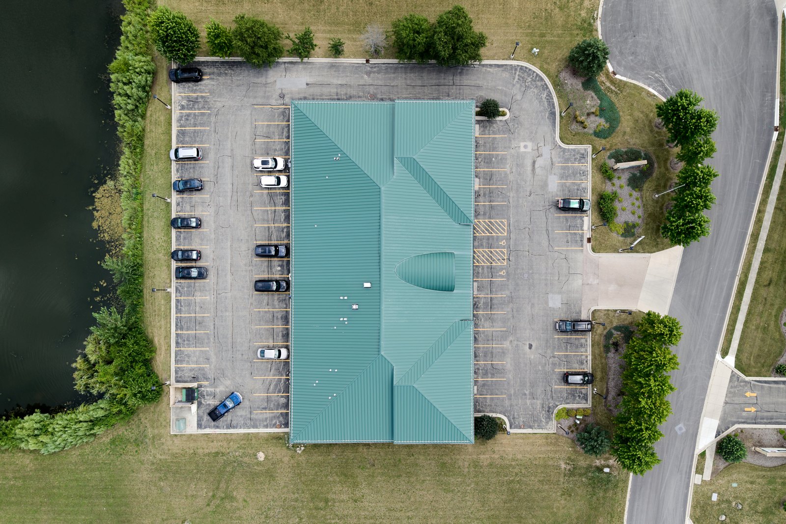
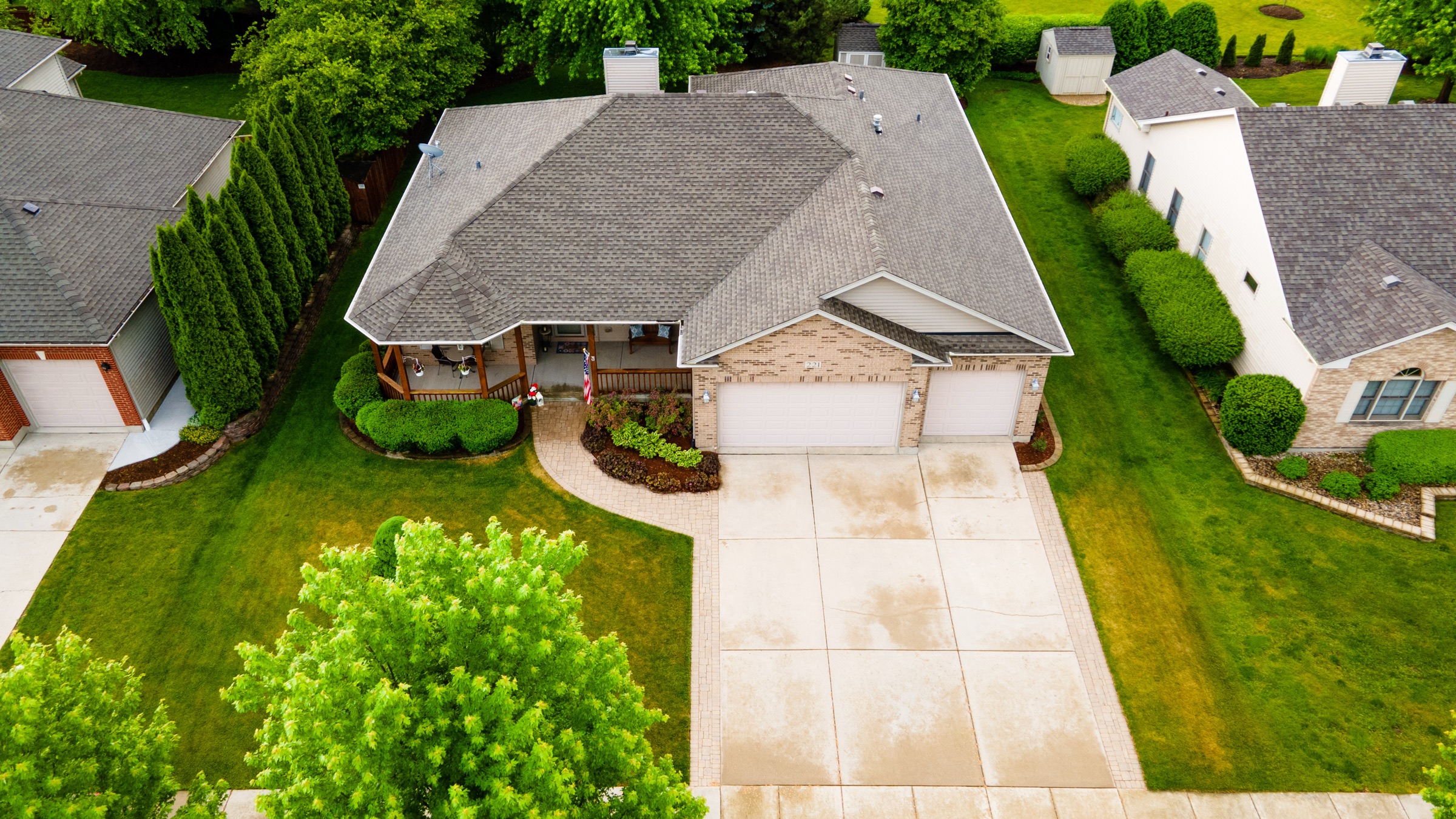
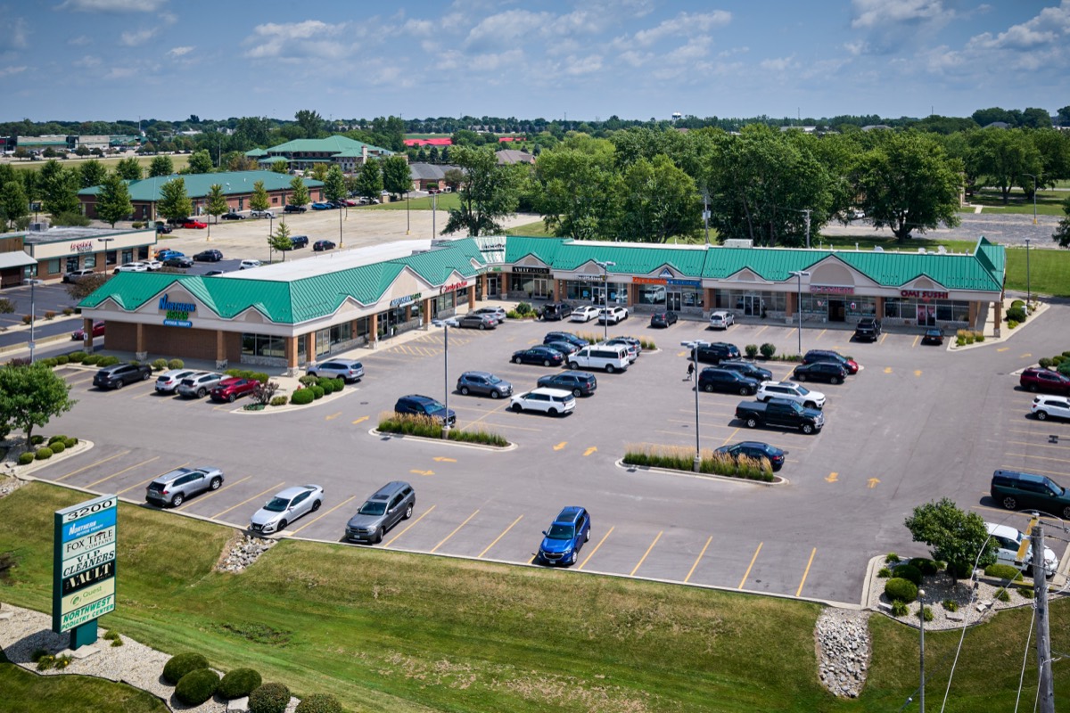
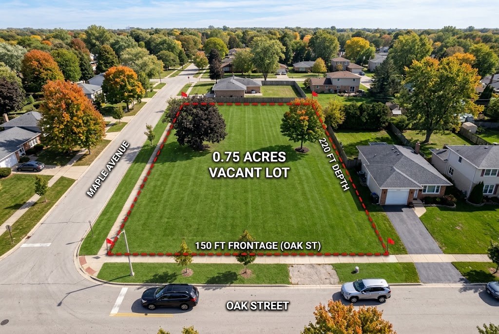
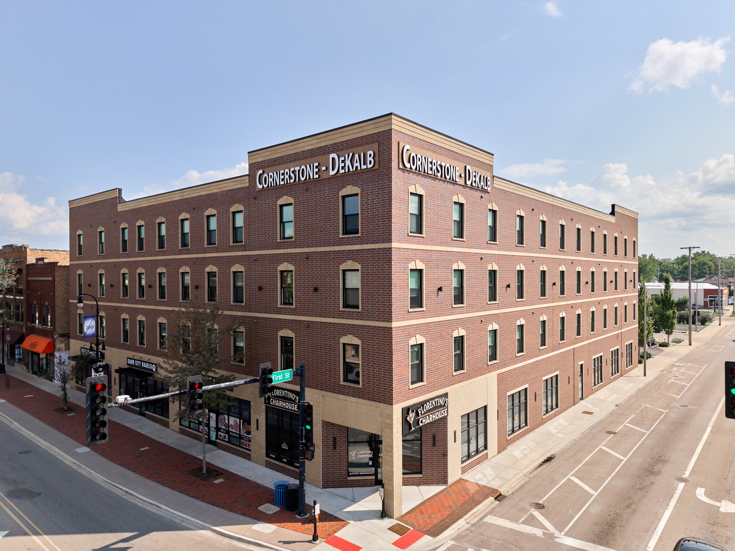
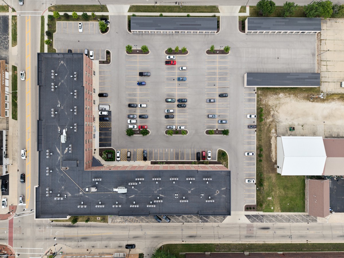
The lot, the block, the reasons for the address.
Aerials ride along on every listing package — and book on their own for refreshes, land checks and marketing.
- 8–15 aerial stills per visit
- Boundary and context angles
- Elevated front elevations
- FAA Part 107 licensed pilot
- Optional 30–60s aerial video
- Photos back in under 24 hours
The same flight, in motion.
What this buys the listing.
The lot, not just the house
Acreage, setbacks and the yard in one frame from altitude.
The block, not just the lot
Tree canopy, the park at the corner — context ground photos can't give.
Proximity that sells
Water, trails, the train line: the reasons for the address, visible.
A drone-only visit, priced to the dollar.
The lot, the block and the setting, without a full listing shoot attached. Photos alone at $175 flat, or photos plus an edited aerial video at $350. Pick one and book the date.
What agents tell Google.
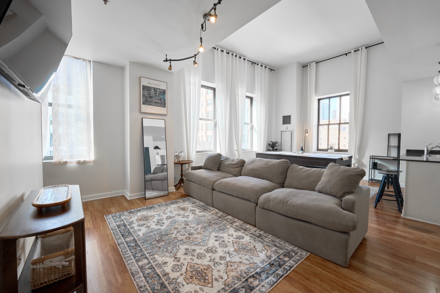
“The photos turned out flawless and truly captured the cozy essence of my home.”
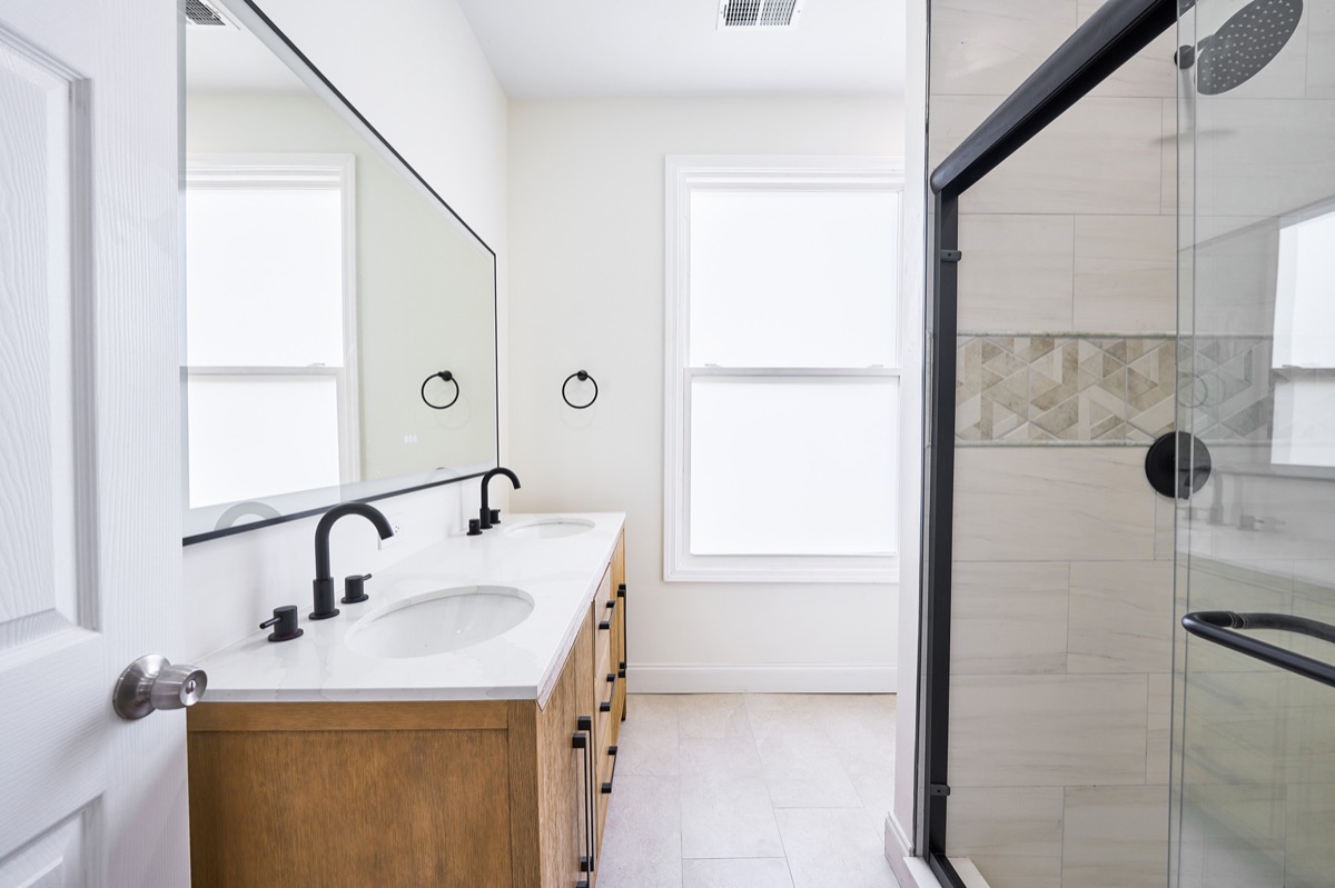
“I really owe Justin 10 stars for this incredible job! Booked him last minute the day before.”
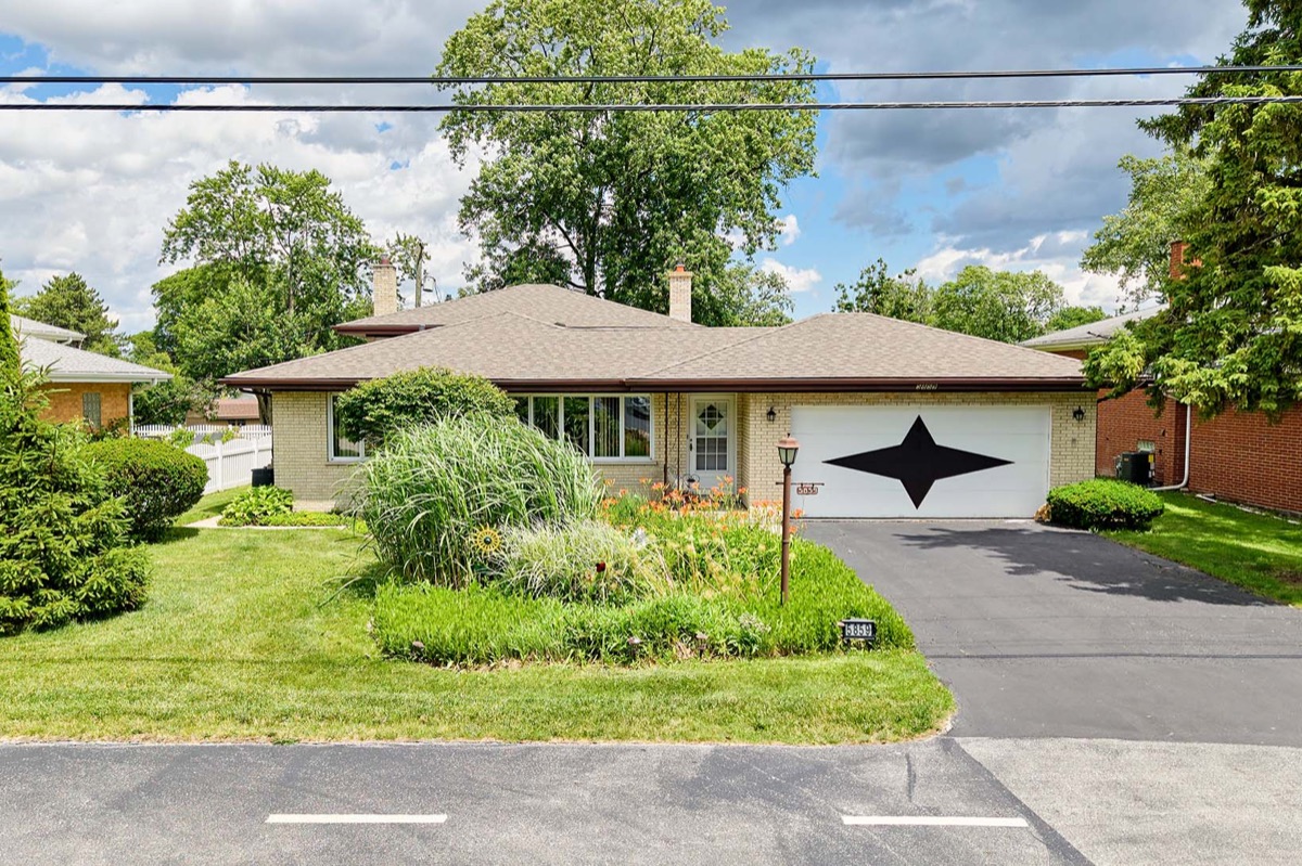
“Very happy with the way the photos turned out. So glad to have worked with Novo.”
Asked before every booking.
Do you need a license to fly a drone for real estate photography?
Yes. Commercial drone flights in the United States require an FAA Part 107 remote pilot certificate. Every Novo aerial is flown by a licensed pilot operating within FAA rules.
How much does aerial drone photography cost for a listing?
Aerial drone photos are included at no extra charge on all three packages — roughly 3 to 15 images depending on the tier. Aerial drone video is priced separately as an add-on, starting at $175.
When is aerial photography most worth it?
Aerials do the most work on properties where the land or location is part of the value: large lots, acreage, homes backing to a forest preserve or water, and listings where proximity to a downtown, train line, or skyline view is a genuine selling point.